EXPLORING THE CELTIC COAST - PENPARCAU COMMUNITY FORUM
“An innovative community led bilingual heritage and environment initiative, framed around the Pen Dinas hill fort / Local Nature Reserve site, exploring its heritage, culture and environment.”
The purpose of the Exploring the Celtic Coast Feasibility Study by Penparcau Community Forum was to research the viability of numerous elements that would have a positive economic, cultural, educational and environmental impacts upon the region, the community and its identity and in the Dyfi Biosphere.
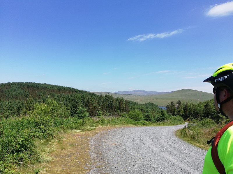
The aim was to celebrate and highlight Pen Dinas as an important site of immense historical value to our immediate community and the wider area. The project focused on creating and developing structures and initiatives that enhance and provide improved access to the local natural and built environment. Together with promoting opportunities for joint co-operation actions related to the natural landscape within a Biosphere area and, deliver alternative methods of delivering tourist information in the area.
Not only has the project provided the local community with a better understanding of the monument, which was demonstrated at an Open Day held in the Neuadd Goffa in Penparcau but it obtained new information pertaining to the history of the hill and hillfort without breaking the ground and disturbing archaeological layers within the Scheduled Monument. The project also confirmed that a low mound on the hilltop is a Bronze Age round barrow. This is a grave site, where the cremated remains of an important figure would have been buried over 3500 years ago.
Project activities included:
- a feasibility study
- a ‘never been done before’ community geophysical survey of the site
- designing and developing signage and benches for the site
- creating a History & Heritage centre space at the proposed new Community Centre, focussing on the hill fort and the Village of Penparcau, including digital signage, ‘heritage stations’ and visitor/educational packs
- creating an easily available bilingual booklet on all survey findings
- scoping visits to other sites in Wales e.g. Caerau Community Hillfort project in Ely Cardiff, Heather & Hillforts project in Denbighshire and Castell Henllys in Pembrokeshire
The economic, educational and cultural impact that this project could have is huge. Building capacity, civic pride, creating a sense of ownership and belonging, both locally and within the region were core to this project.
The results of this project are of an educational interest. Due to the reserve’s proximity to local schools and the University, it makes an interesting local site for students. The reserve can be used to teach survey techniques and bird, flora and butterfly identification and there is scope for guided walks on a wide range of environmental and historical subjects. The disused refuse tip can be studied by students. Interpretative boards and the self-guided walk leaflet play a key role in educational activities on the reserve.
The RCAHMW have indicated that they would be prepared to undertake a detailed topographical survey of Pen Dinas hillfort in association with any future community-led project relating to the Scheduled Monument. Such a survey would be a welcome and valuable addition to the body of evidence relating to the hillfort and could help identify subtle surface features of archaeological significance. A modern topographical survey is able to extend into areas affected by vegetation and give a much clearer picture of surface undulations that is otherwise possible. Such a detailed plan of the monument would also be of great assistance to future management plans and any future archaeological interventions.
This project has received funding through the Welsh Government Rural Communities – Rural Development Programme 2014-2020, which is funded by the European Agricultural Fund for Rural Development and the Welsh Government.
Further Reading